Design Development

ENGINEERING
DDEC is an industry leader in transportation and mobility planning, renowned for its innovative solutions and commitment to sustainability in urban development.

PLANNING
DDEC’s Design Team provides a broad range of services in traffic engineering, roadway and drainage, Complete Streets, quick-build, construction administration.
Featured Work

Explore
FAQ's
WHAT IS MOBILITY PLANNING?
Mobility planning is the process of designing and implementing transportation systems that make it easy and safe for people and goods to move around a community. This includes analyzing traffic patterns, identifying areas that need improvement, and developing strategies to enhance transportation options such as bike lanes, public transit, or pedestrian walkways. The goal is to create efficient, sustainable, and accessible transportation systems that improve the quality of life for residents.
WHAT IS COMPLETE STREETS?
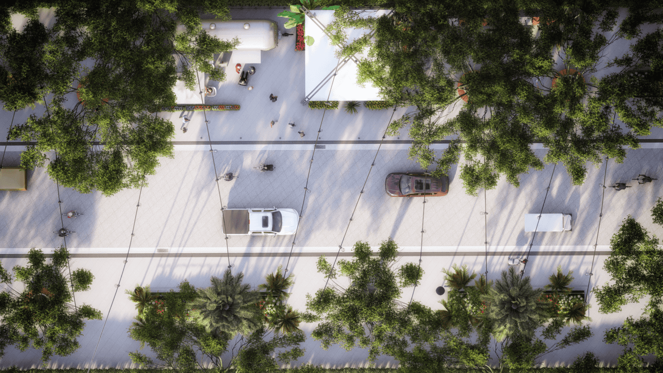
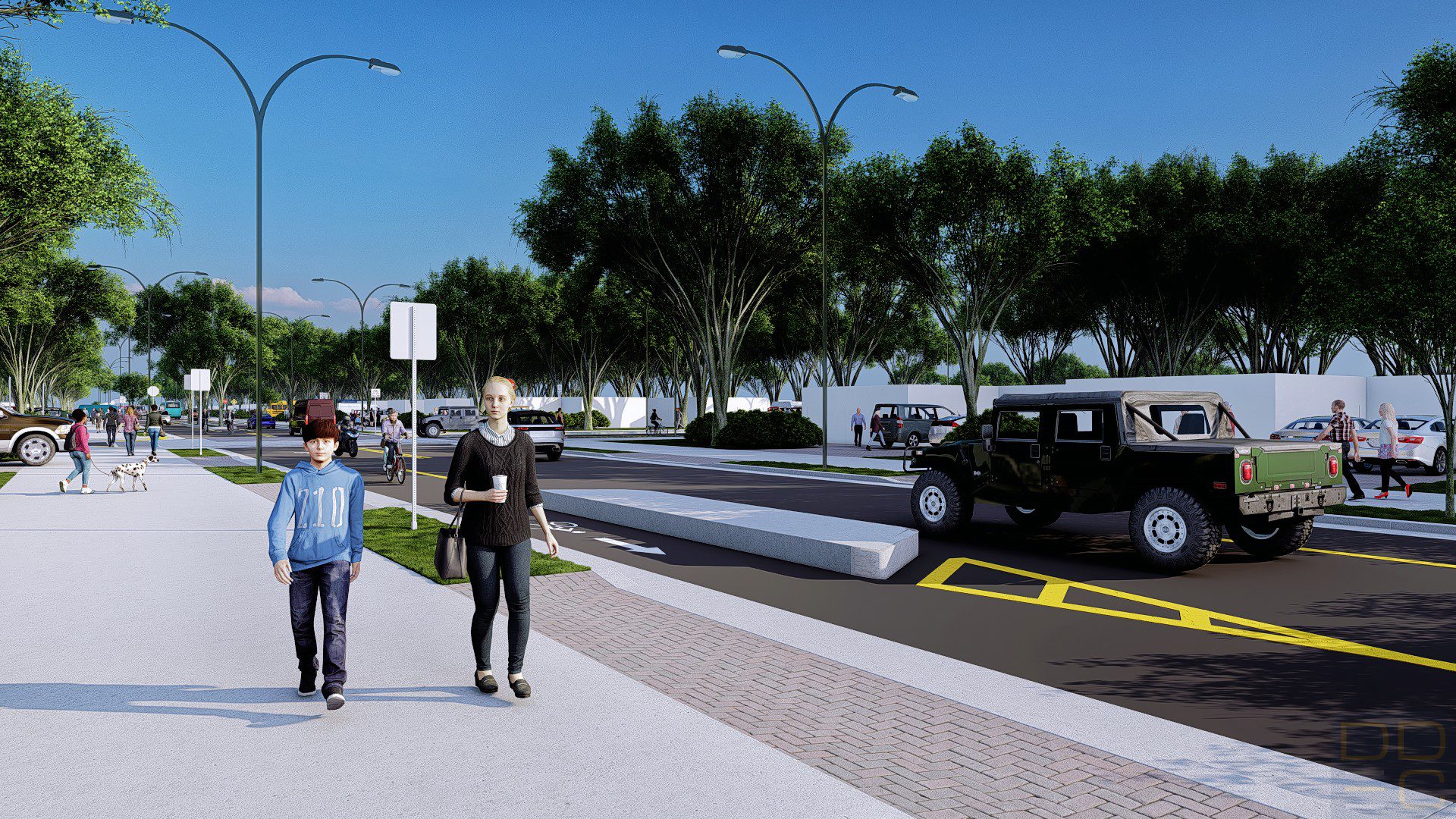
Complete Streets is a transportation policy and design approach that aims to create streets that are safe, accessible, and convenient for all users, regardless of their age, ability, or mode of transportation. Complete Streets prioritize the needs of pedestrians, cyclists, public transit users, and drivers equally, recognizing that streets serve a variety of purposes beyond just moving cars.
Complete Streets may include features such as sidewalks, bike lanes, crosswalks, bus stops, and traffic calming measures, such as speed limits or roundabouts. The goal is to create streets that are not only safe, but also promote active transportation, reduce congestion, and enhance the overall quality of life in a community.
The Complete Streets approach has gained popularity in recent years as a way to create more livable, sustainable, and equitable communities. Many cities and towns across the United States have adopted Complete Streets policies and guidelines, and are implementing projects to make their streets more accessible and user-friendly for all residents.
WHAT IS VISION ZERO?
Vision Zero is a road safety initiative that aims to eliminate all traffic-related fatalities and severe injuries. The concept originated in Sweden in the 1990s and has since been adopted by many cities around the world.
The basic principle of Vision Zero is that traffic deaths and injuries are not inevitable, but rather are preventable through safe road design, education, and enforcement. The goal is to shift the focus from blaming individual road users to designing a transportation system that prioritizes safety for everyone.
To achieve this goal, Vision Zero typically involves a combination of measures, such as reducing speed limits, improving pedestrian and bicycle infrastructure, increasing public awareness and education, and improving enforcement of traffic laws.
Many cities have adopted Vision Zero policies and have set specific targets for reducing traffic fatalities and serious injuries. While the goal of zero deaths and injuries may be ambitious, the Vision Zero approach emphasizes that any traffic death or serious injury is unacceptable and can be prevented through concerted efforts by all stakeholders.
WHAT IS WAYFINDING?
Wayfinding refers to the process of orienting oneself and navigating through a physical environment, such as a building, campus, or city, by using signage, landmarks, maps, and other visual cues. The goal of wayfinding is to help people move through a space safely, efficiently, and confidently, while also enhancing their overall experience.
Effective wayfinding systems typically include a combination of visual and non-visual cues, such as signs, symbols, colors, and lighting, that provide clear and consistent information about where people are and how to get to their destination. Wayfinding may also involve the use of technology, such as digital maps or smartphone apps, to enhance the user experience and provide real-time information about traffic, weather, or other relevant factors.
Wayfinding is important for a variety of contexts, including urban planning, architecture, transportation, and healthcare. It can help people with different abilities and backgrounds navigate through unfamiliar or complex environments, and can also contribute to a sense of community and place-making by highlighting unique features or landmarks of a given area.
WHAT IS A PARKING STUDY?
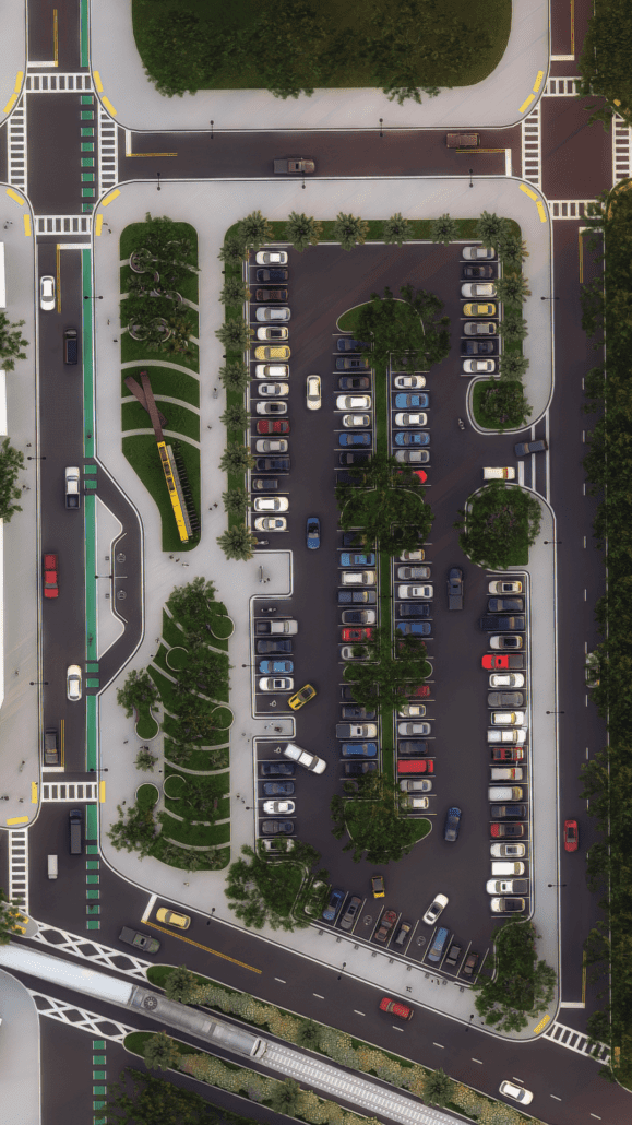
A parking study is an assessment of the parking demand, supply, and utilization in a particular area or facility. The goal of a parking study is to determine the current and future parking needs of a community, organization, or development, and to develop strategies to meet those needs in a safe, efficient, and sustainable way.
A parking study typically involves gathering data on factors such as population density, land use, travel patterns, and parking occupancy rates. This data is then analyzed to identify trends, patterns, and potential issues related to parking, such as congestion, safety hazards, or inadequate supply. Based on this analysis, recommendations may be made for improving parking management, such as adjusting parking pricing or time limits, expanding parking supply, or promoting alternative modes of transportation.
Parking studies may be conducted for a variety of purposes, such as supporting land use planning, informing transportation infrastructure development, or guiding the design and management of parking facilities. They are typically conducted by transportation planners, engineers, or consultants, and may involve community engagement and input to ensure that the parking solutions are responsive to the needs of all stakeholders.


